Living in London means I don’t really have mountains on my doorstep, but when you don’t have what you like you like what you have.
England is full of National Trust trails ranging from abandoned railway tracks to walks through farmers fields full of grazing sheep and cows. Some of those trails are well designed long distance treks.
The Ridgeway is 140km (87 miles) long. For an intermediate walker who can manage 22km (13 miles) a day it would take roughly a week to finish the whole trail. There are lots of camping stops along the way. You can also did the walk in segments, like I do.
The trail leads from Overton Hill 174m (571ft) at the southern edge of the Marlborough Dawns in Wiltshire, to Ivinghoe Beacon 233m (764ft) hill in the Chiltern Hills. There are two car parks or you can take the train to Tring. It takes as little as 35 mins from London Euston and you can buy a return ticket for £10 providing you have a discount railway card or use the group saving.
I did the circular walk from Tring to Aldbury and it took me a little over 4hrs to do it. I wasn’t in a hurry, took lots of pictures and generally just enjoy the hike at my own leisure pace.
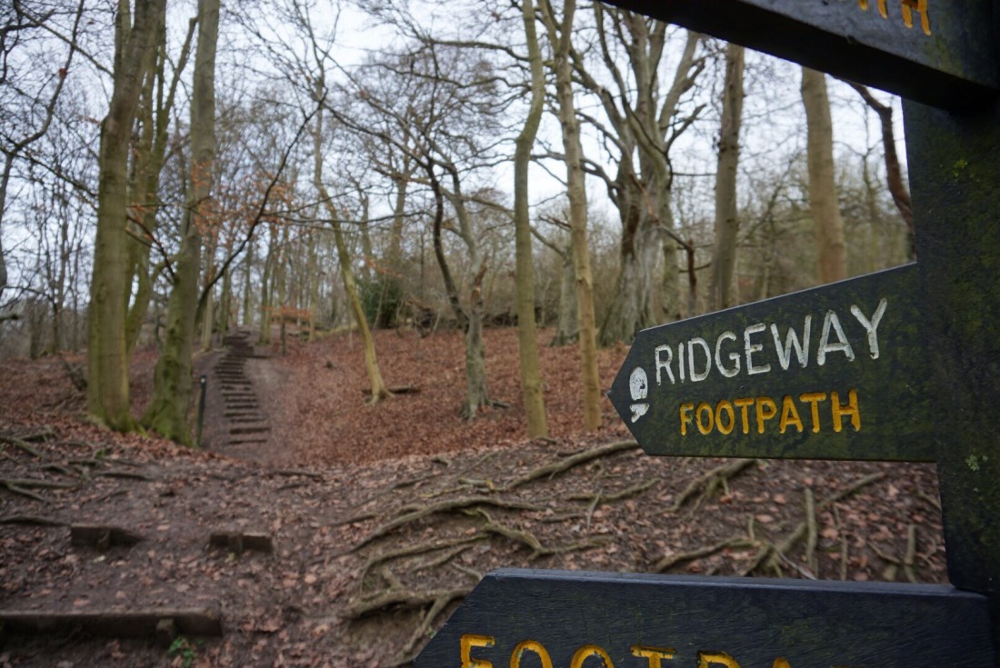
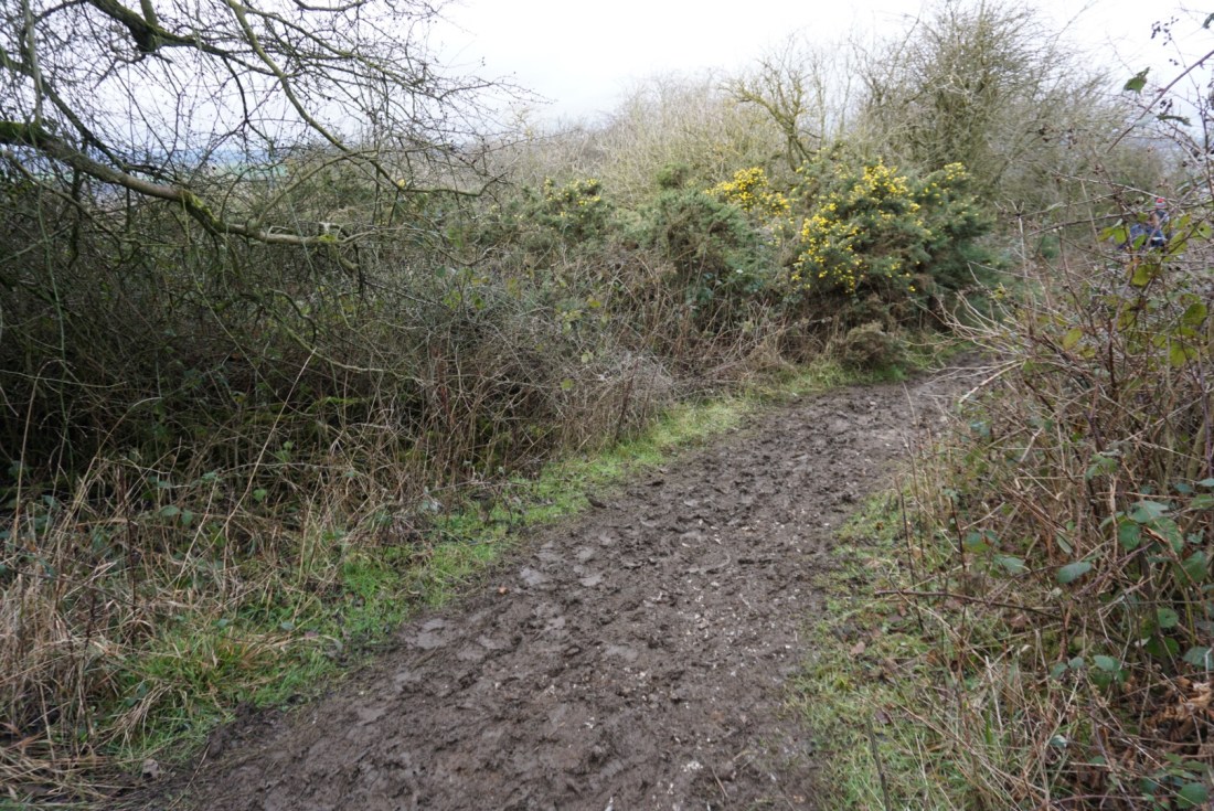
The path is well marked with signposts and makes for a pleasant way to spend an afternoon with a family or friends. However it’s not the easiest terrain for a buggy as it can get super muddy.
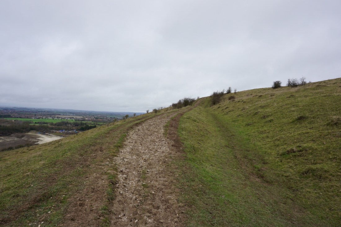
The views are quite spectacular I must say. Especially on a clear sunny day which didn’t happen when I was there but I still enjoyed it.

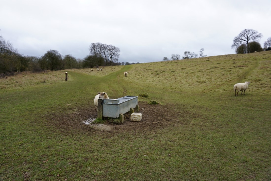
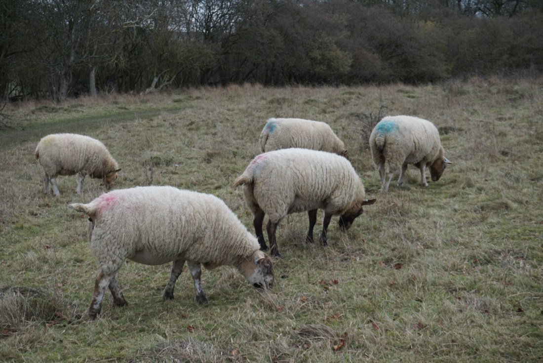
Some parts of the trail include “common land” which means the owner gave permission for people to pass through. There may be some cows or sheep grazing so make sure you will close the gates behind you and keep the dogs on the leash.
The area is also abundant with red kites. I love how graceful they look soaring the open lands with their majestic wings wide open.

Just to give you an idea of the whole trek, here is a pic of my route:
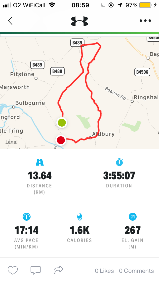
I use MapMyHike to mark the route. All you have to do is to download the app, allow the location tracking and remember to start recording as soon as you hit the trail and then finished it when you reach your end. The app runs in the background so no need to constantly have the screen open etc.
If you worry about trails visibility etc you can always use a gps device or a gps app. I have MapsMe and it shows me all the paths available in my trekking area.
Happy trekking:)
